Introduction
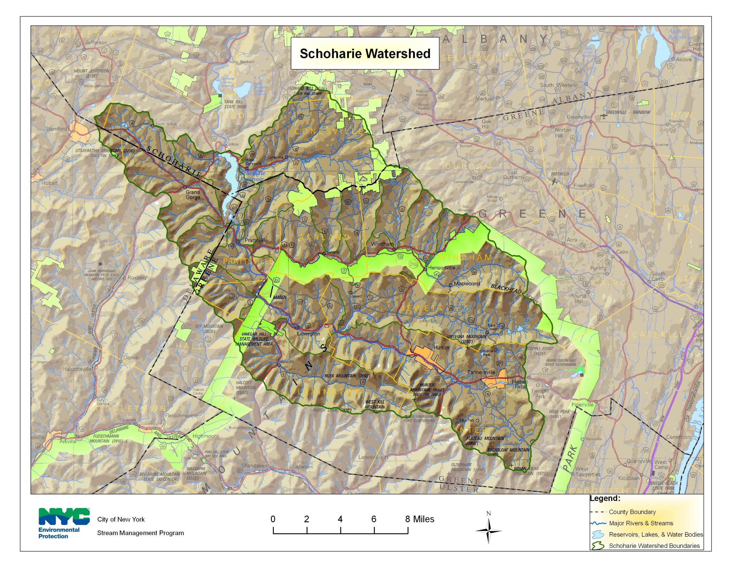
Encompassing approximately 315 square miles, the Schoharie Reservoir watershed, is located primarily in Greene County, NY. The Schoharie Creek drains eight Greene County municipalities, not including direct drainage to the reservoir, including large sections of the Towns of Prattsville, Lexington, Jewett, Hunter, Ashland, Windham and the Villages of Hunter and Tannersville. Traveling from east (Hunter) to west (Prattsville), the primary tributaries that drain into the Schoharie Creek are the East Kill, West Kill, Little West Kill, Batavia Kill, Huntersfield Creek, Johnson Hollow Brook, and directly into the reservoir the Bear Kill and Manor Kill. The major streams within the Schoharie watershed tend to have long, narrow watersheds running east to west. This drainage pattern is controlled by the steep topography, formed in large part during the last period of glacial activity. Streams in the Schoharie valley are primarily perennial streams, that is, they flow year-round except in smaller headwater streams or in extreme drought conditions.
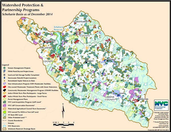
In order to meet both surface and groundwater needs, both quality and quantity, it was determined that a comprehensive watershed approach was required to document the magnitude of potential impairments and involve watershed stakeholders in recommending strategies for remediation and management. To this end, the Greene County Soil and Water Conservation District (GCSWCD) and New York City Department of Environmental Protection (NYCDEP) have conducted extensive watershed assessments, authored four management plans for the various major basins and have embarked on an extensive restoration and outreach campaign.


