Introduction
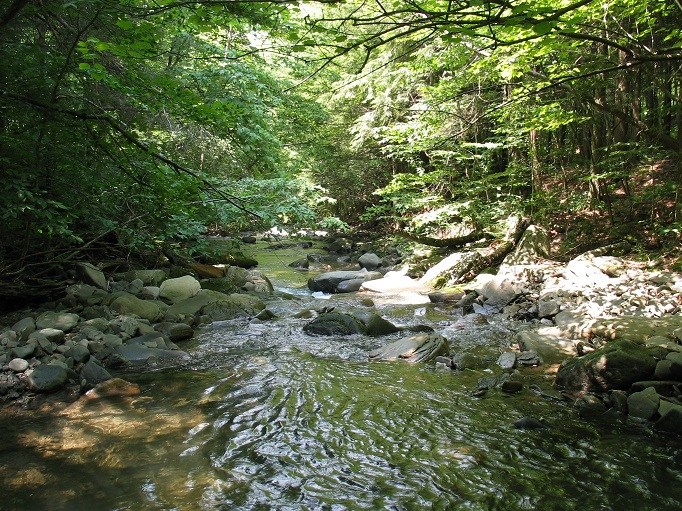
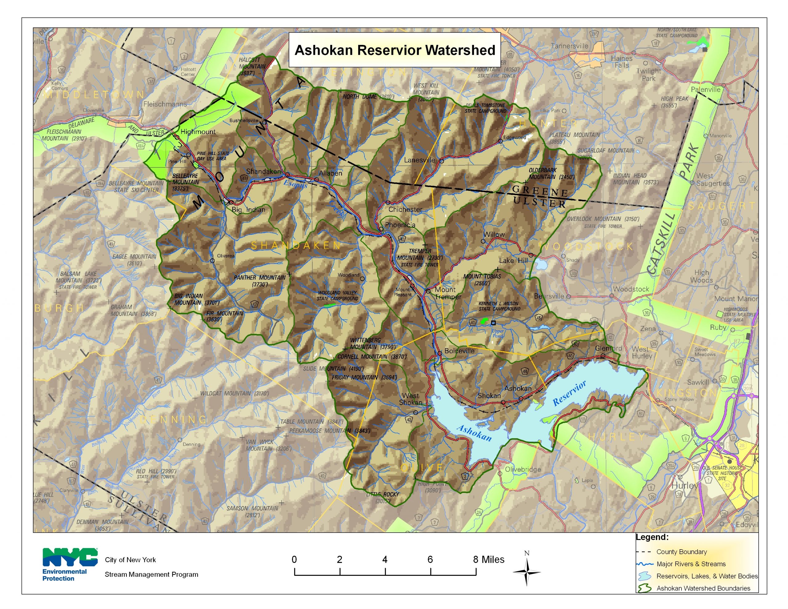
The Upper Esopus Creek watershed covers a 192 mi2 area in the South-central Catskill Mountain region of southeast New York State. The entire 26-mile course of the creek flows “clockwise” in a sweeping arc from the headwaters at Winnisook Lake on Slide Mountain to the Ashokan Reservoir.
Upper Esopus Creek and its tributary network drain some of the most rugged terrain in the Catskill Mountains. There are 21 peaks greater than 3000 feet above sea level (ft asl) that are drained by this network. Among them is Slide Mountain, the highest peak in the Catskills at 4,120 ft asl. The base elevation in the watershed at Ashokan Reservoir is 633 ft asl. The resulting streams are steep erosive forces as water and sediment make the quick descent from mountain top to the base of the watershed at the reservoir. The watershed includes at least 330 miles of stream.


